What is a named area of interest in imagery intelligence?
A plain explanation of what a named area of interest is, how it differs from a general AOI, and why the boundary you draw decides what your baseline can see.
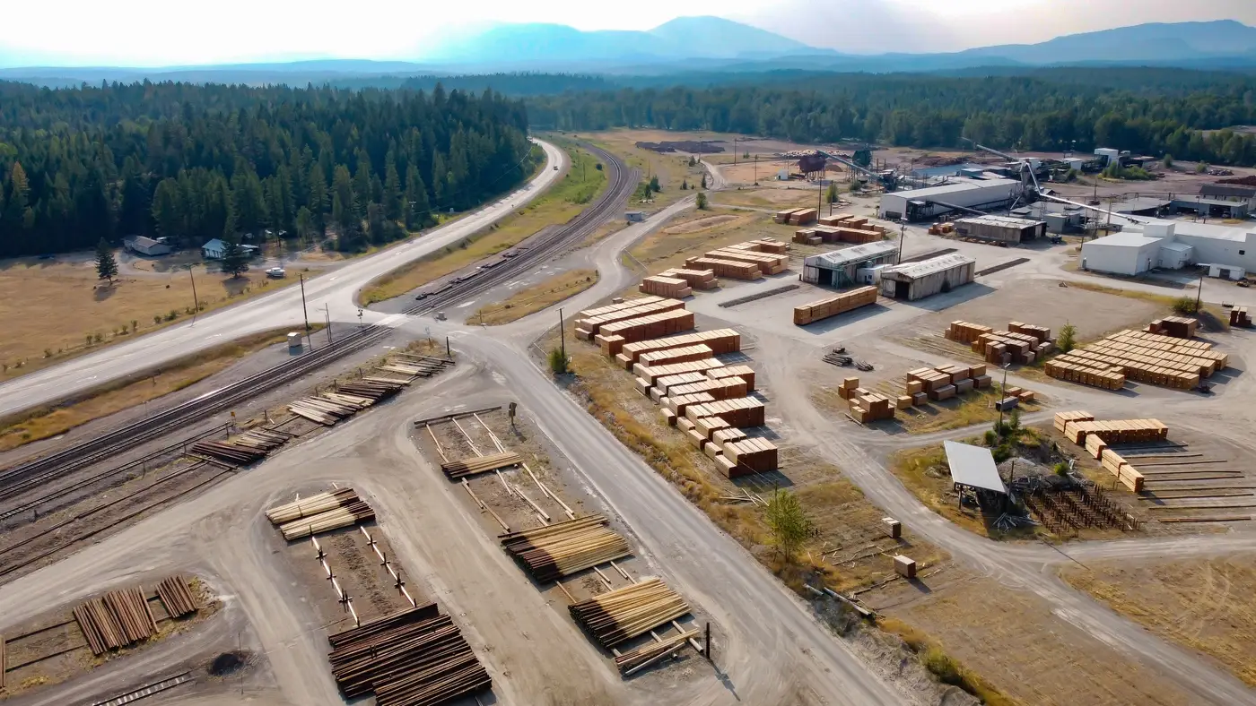
A named area of interest, usually written NAI, is a specific piece of ground that's been flagged for standing collection because something there is worth watching on a recurring basis. The name comes from the fact that someone assigned it a designator in a collection deck, usually alongside a justification for why it earns repeat tasking instead of a one-time look. It's a location tied to a question: is this facility expanding, is this yard loading out, is this compound still active.
That distinction matters more than it sounds like it should, because the term gets used loosely in a lot of shops.
AOI vs NAI imagery: not the same thing
An area of interest is broader and often temporary. It might cover a whole province during an election, or a coastline during a storm season, because the analyst needs situational awareness across a wide space for a defined stretch of time. Once the event passes, the AOI usually gets dropped from the deck.
An NAI is narrower and sticks around. It's drawn tight around a specific site, a compound, a port terminal, a single pad at an airfield, and it stays on the collection schedule indefinitely, or until whatever question justified it gets answered. An AOI answers "what's happening in this region right now." An NAI answers "what's normal at this exact spot, and has that changed." Size is part of it, but the real split is intent: one scans a space, the other stands watch on a place.
If you're building a pattern-of-life baseline, you're working with NAIs almost by definition. You can't baseline a province. You can baseline a loading dock.
Defining a site boundary for daily collection
Drawing the NAI boundary itself is where a lot of the real analytic judgment happens, and it's easy to get wrong in either direction. Draw it too wide and you pull in noise: a road that sees unrelated traffic, a neighboring lot with its own activity pattern that has nothing to do with the site you're watching. Draw it too tight and you clip the parts of the site where the activity you care about happens, like a staging area just outside the fence line or a vehicle park that sits slightly off the main compound.
A few things that tend to hold up over time:
Boundary should match the functional footprint of the site, not the property line on a cadastral map. If vehicles routinely stage fifty meters outside the fence, that fifty meters is part of your NAI whether or not it's part of the parcel.
Boundary should be stable enough to compare the same footprint day over day. If you redraw it every few weeks because something new catches your eye, you're building a series of disconnected snapshots that happen to overlap, not a baseline.
Boundary should be documented with the reasoning behind it, not just the coordinates. Six months from now, whoever inherits this NAI needs to know why the line sits where it sits.
Get the boundary right once and every subsequent pass over that site is comparing like to like. Get it wrong and you're either drowning in irrelevant change or missing the change that matters, which defeats the point of having an NAI in the first place.
Why the boundary decides what the baseline can tell you
A pattern-of-life baseline is only as good as the ground it's built on. Daily collection over a sloppy boundary racks up a growing pile of pixel differences that don't trace back to anything a site actually does. Daily collection over a well-scoped NAI gives you something you can compare against tomorrow's pass, and the week after that, until a deviation stands out because it genuinely doesn't match what the site normally looks like, not because the frame shifted.
This is the whole premise behind the approach Activity-Based Intel is built around: accumulate daily very-high-resolution looks over a named site into a normal baseline, then check each new pass against it so a real change surfaces instead of getting buried in routine review.
If you've already got an NAI defined and you're tired of eyeballing each day's pass against your memory of the last one, it might be worth seeing what a running baseline does for that site.